This page has been idle for a while. To make sure you don’t miss out on the latest content, please reload the page.Refresh


Search
Date
Category
Fee
Location(Max. locations: 5)
Jao Tsung-I Academy | Public lecture: Pre-war and Wartime heritages in Aerial Photos

1 Images
1 Images
Description
This lecture will use wartime aerial photographs, especially those captured the Lai Chi Kok district between 1920s to 1950s, as a case study to discuss the application of aerial imagery and Geographic Information Systems (GIS) in the research of built heritages. It will introduce the public to techniques such as "Georeferencing" which enhance our understanding of historical contexts of a certain period. This Lecture is funded by the "Built Heritage Conservation Fund" and serves as the one of the events under the "Using Wartime Aerial Photos in Built Heritage Conservation in Hong Kong" project.
Speaker: Prof. KWONG Chi Man (Professor, Chair, Department of History, Hong Kong Baptist University)
Registration link: https://docs.google.com/forms/d/e/1FAIpQLSes32YWr0wQKf0bA0oHLvmjKI1b1BrepSVu-LBvHwg0aET3mg/viewform
Date and Location
(Sun)
2:00pm - 4:00pm
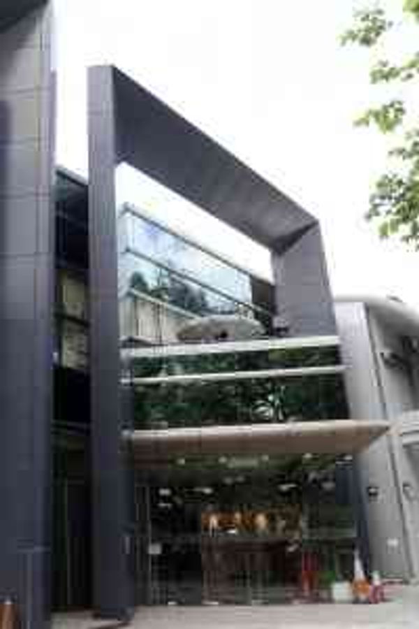
Venue: Theatre, Block I, Middle Zone, Jao Tsung-I Academy
MTR Mei Foo Station Exit B
Organizer
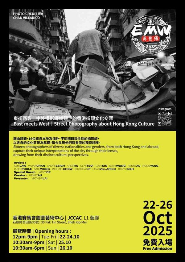
Lai Chi Kok Events


Highlights


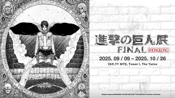
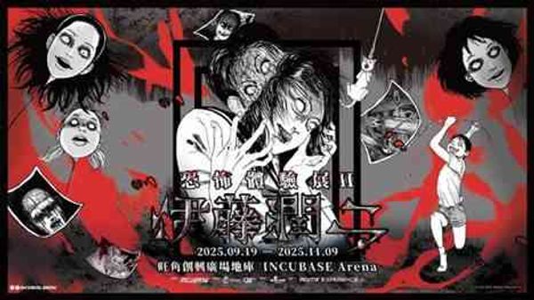


Exhibition Hotpick


Drama and Film Featured


Mall Events


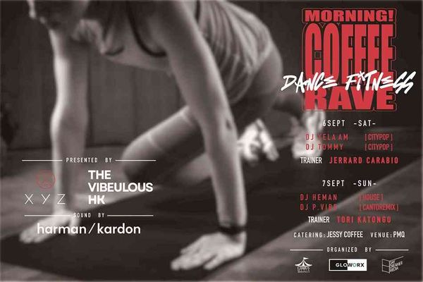
Concert


最新
人氣
etnet TV
財經新聞
評論
專題透視
生活
DIVA
健康好人生
香港好去處